


I met up with a few Jeep friends from SCORE on meetup.com and drove through Grapevine Canyon, White Mountain trail, to Wright Mine, 3N89, 3N08 to Little Bear Springs, 3N14, then 2N13 to Green Valley. We wanted to go to Butler Peak fire lookout but unfortunately we found out the road (2N13C) to the top is closed. So we continued along 2N13 and went to Green Valley.
This was our GPS track for the day (~33 miles).
Heading south through Grapevine Canyon.
We found the giant head too.
We entered SBNF and headed east along White Mtn trail. The NF rates this "most difficult" but it was more like "hard moderate" as my stock 4Runner was able to make it up with stock tires. My RCI skid plate took a beating though.
The start.
Leading the Jeep pack
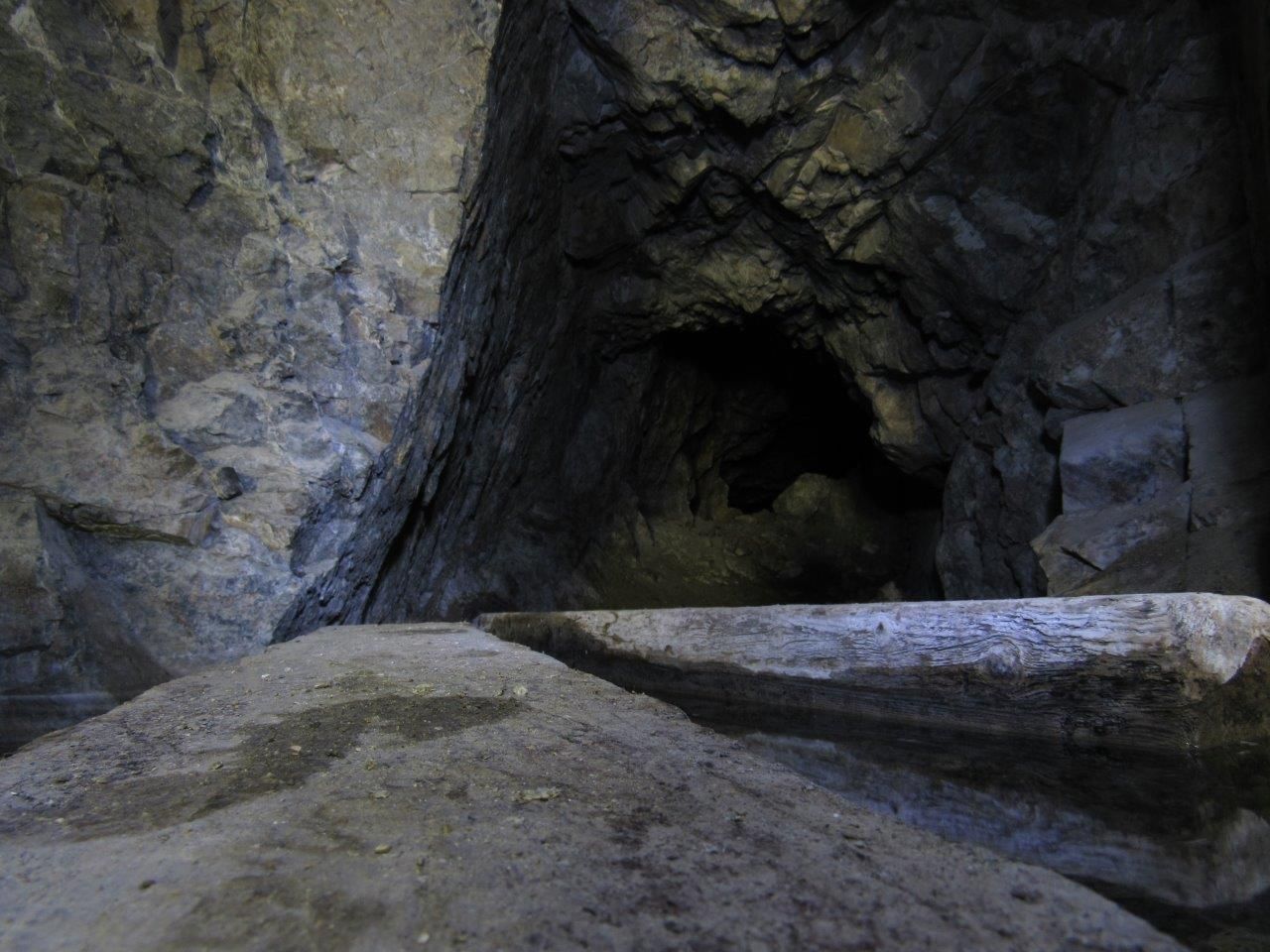
After getting over the North and South Peaks we took a short shelf road to Wright Mine.
Tight turn
Entrance to the mine
There was a spring inside the mine so there was water everywhere.


 Reply With Quote